
Google Maps - now with more coolness!
 You must admit, Google has produced a very cool tool with Google Maps. Well now they've just upped the value again - by allowing you to view satellite images of your map. This means that when you plot a route, you can switch to a satellite view and have the route overlaid on the satellite map!
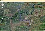
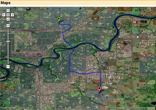
 Image resolution is rather spotty - Edmonton doesn't have high resolution maps yet, whist Kelowna does - go figure. But given the speed with which Google upgraded the Edmonton street map, I'm sure we can expect it pretty soon.
Source: Google Maps
Technorati Tags: GeoCaching, Google, Maps, Edmonton, Alberta, Canada, Kelowna, British, Columbia, Route, Plot, Navigation
posted by bgrier at 7:50 a.m.
![]()

<< Home